Iceland - June 20 - July 2, 2017
Page Three
The morning of June 24, the REI Adventures guided hiking tour started. The 14 person group gathered at a
Reykjavik hotel for breakfast and an orientation and to meet the main and assistant guide and driver.
We then drove in a van, with a trailer attached carrying our luggage, to the Reykjanes Peninsula region southeast
of Reykjavik, passing lava fields, hot springs, unusual geological formations and waterfalls.
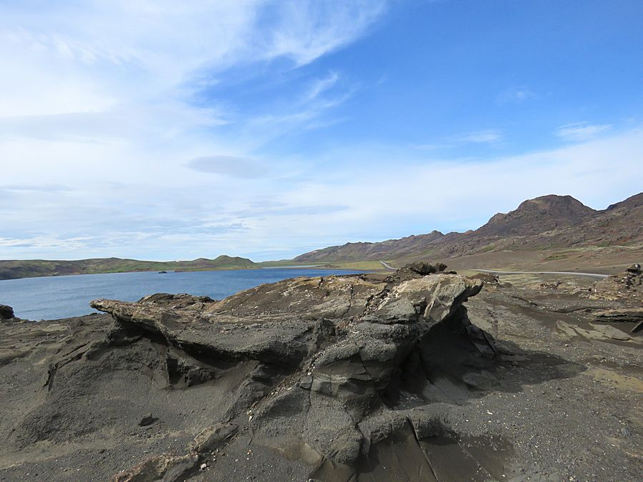
Kleifarvatn Lake is the largest lake on the Reykjanes Peninsula.
The lake has no visible water coming in or going out as most of its water
comes and leaves underground.
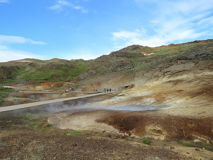
Seltun Geothermal Area,
where the volcanic heat has formed thermal springs, steam vents, mud pots. This area
has formed on the great divide between Europe and America - fissure zone of the
Mid-Atlantic Ridge.

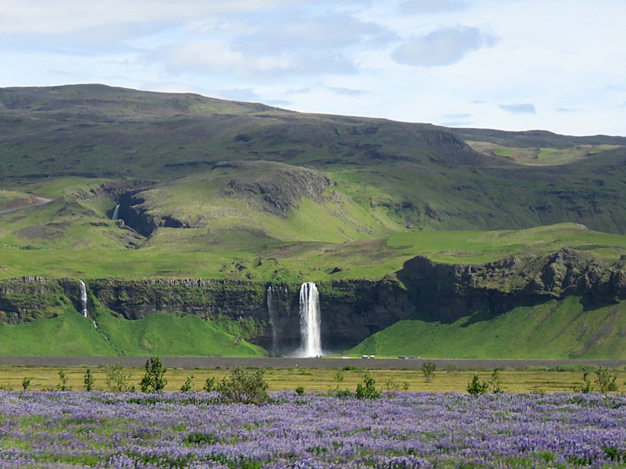
Seljalandfoss waterfall, located near the ring road that goes around
the country. The Ring Road is paved; roads going into the interior
are typically rough and require 4WD. The waterfall drops 197 ft
and is part of the Seljalands River that has its origin in the volcano glacier Eyjafjallajokull.
Note the field of lupine in the foreground, a common sight around Iceland.
Lupine was introduced in 1945 to lowland areas in the southwest as a means to add
nitrogen to the soil and also to function as an anchor for organic matter.
Lupine has since flourished here, spreading to other regions like wildfire.
Critics of this initiative view the flower as an invasive species that is
threatening low-growing mosses and other native plants.
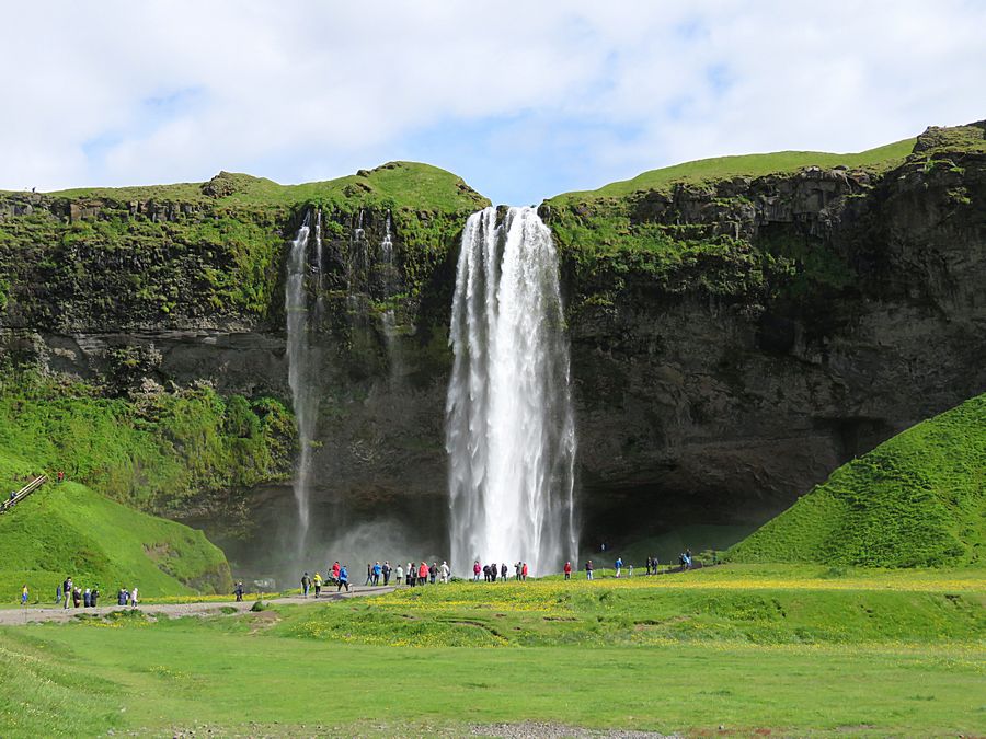
We walked up to Seljalandfoss
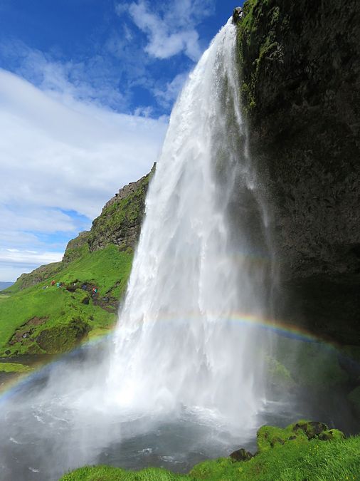
And then walked behind it where a small cave is behind the falls.
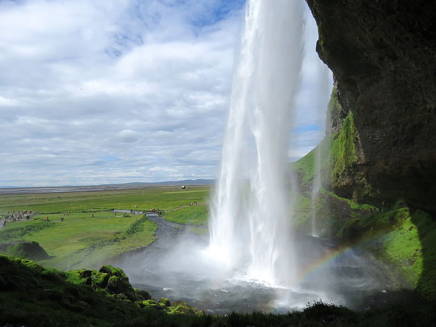
View from behind Seljalandfoss with the Atlantic Ocean in the distance.
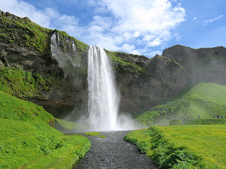
View of the waterfall after walking behind it
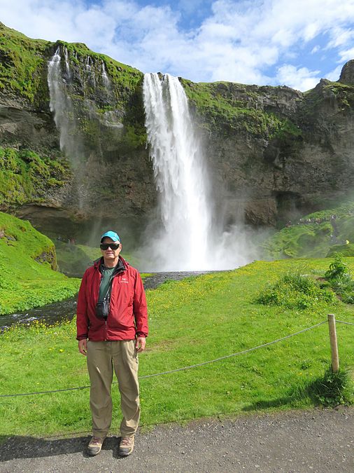
Jeff in front of Seljalandfoss
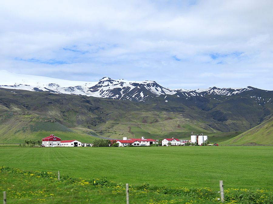
View of the countryside taken from our van
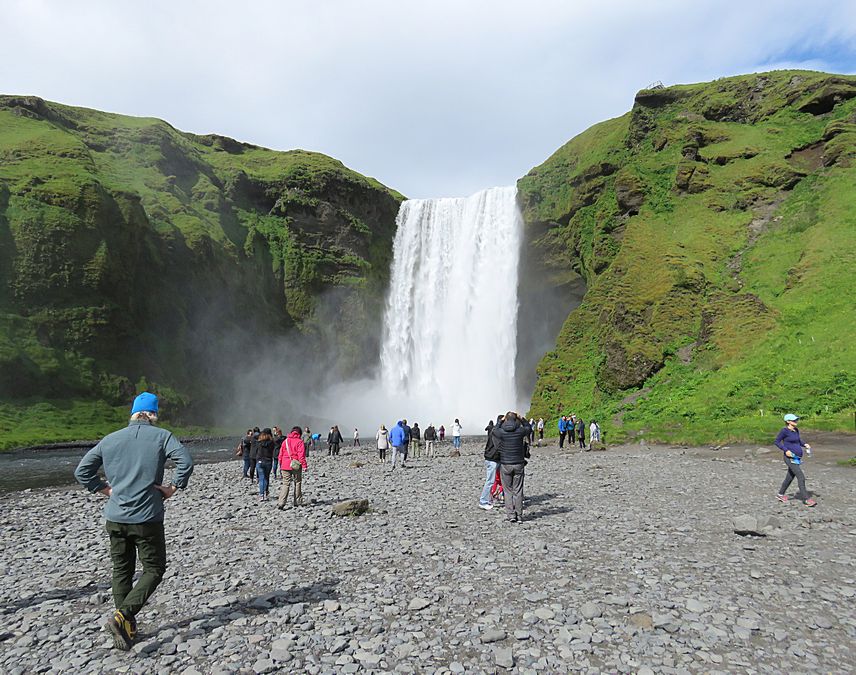
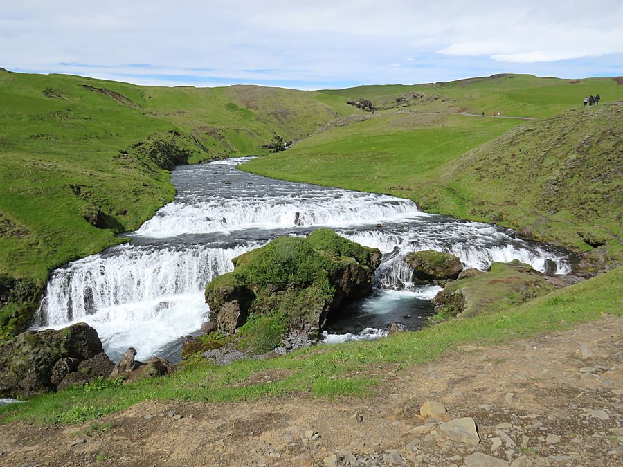
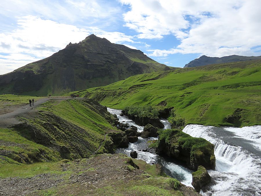
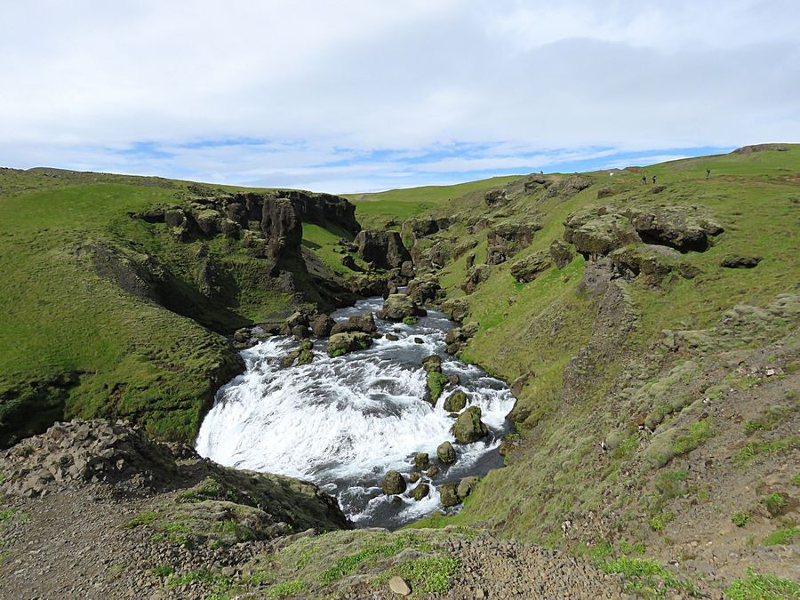
Skogafoss, 200 foot tall waterfall, the last of about 40 waterfalls fed by
the Eyjafjallajokull Glacier. This area lies at the foothills of the Eyjafjallajokull
volcano and was completed covered in ash after the 2010 eruption that shut
down flights in northern and western Europe due to the ash. Today moss and other
lush green vegetation covers the area.
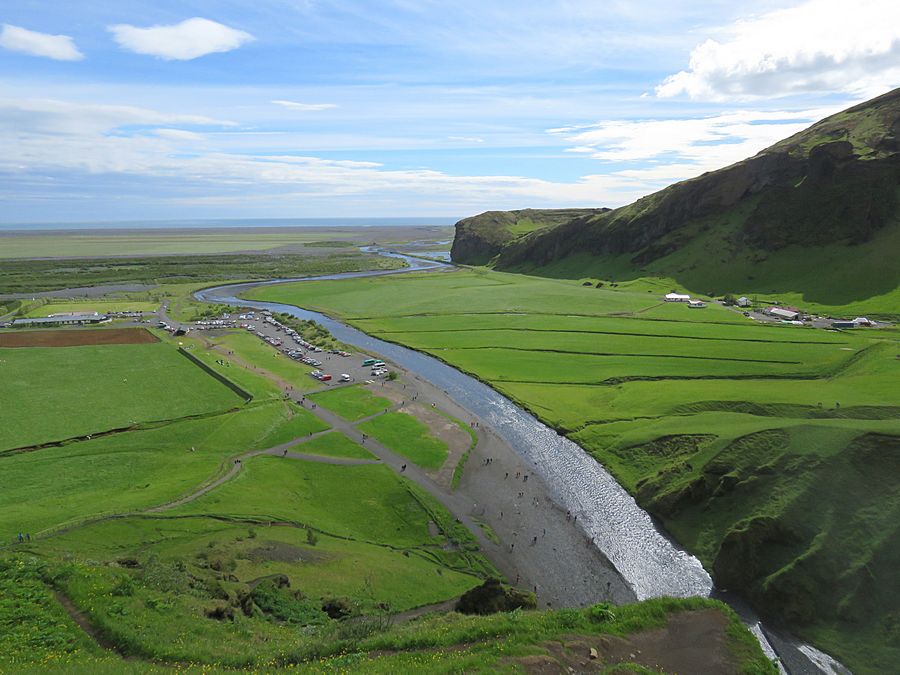
View from the top of Skogafoss looking back toward the ocean.
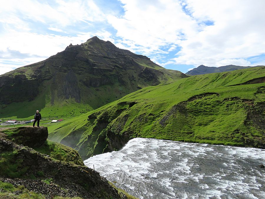
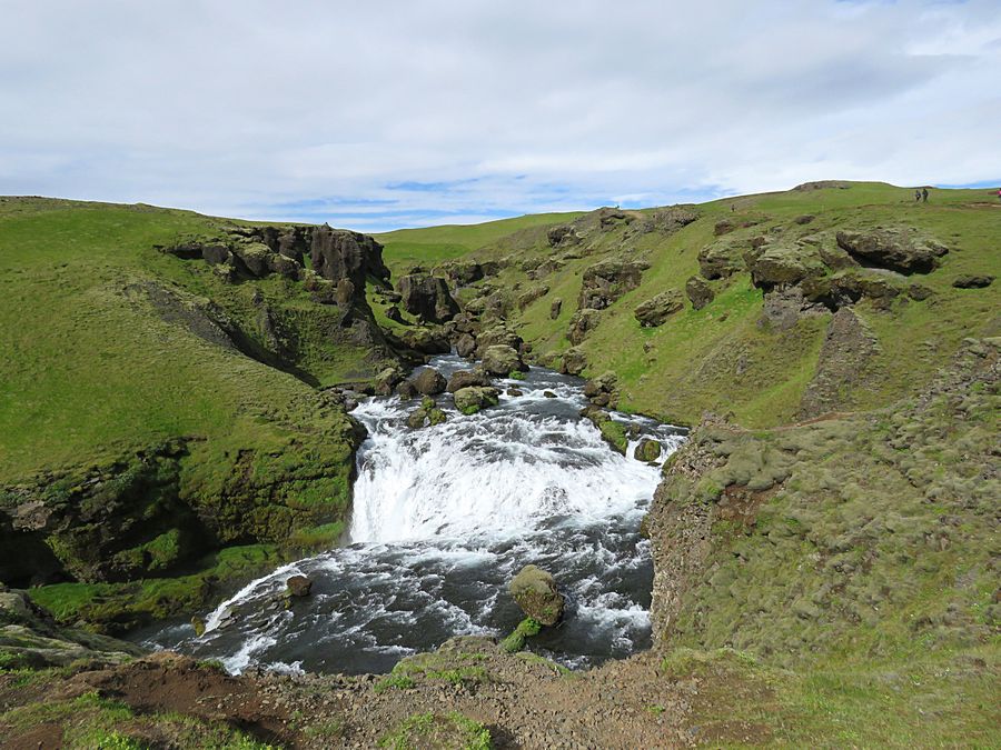
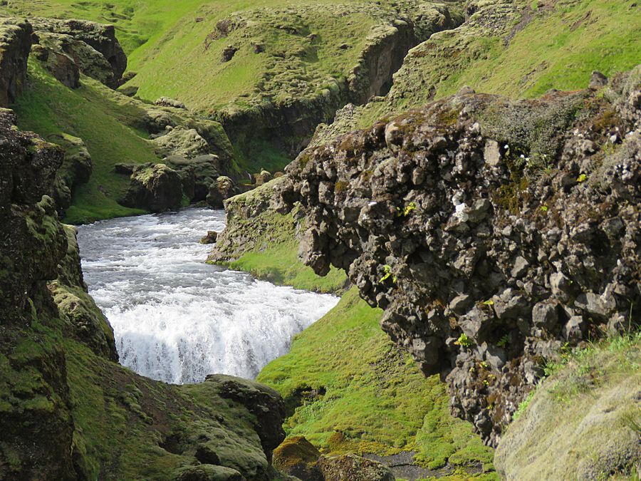
We walked up a trail to the right of the waterfall and continued on
that trail for a while, passing numerous waterfalls.
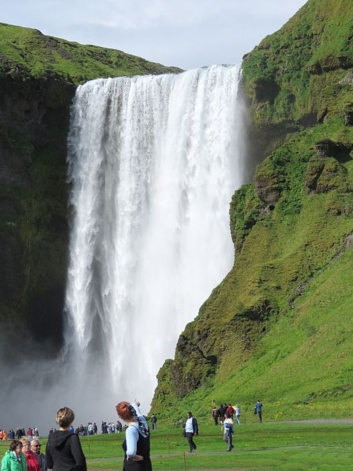
View of Skogafoss after returning to the parking area
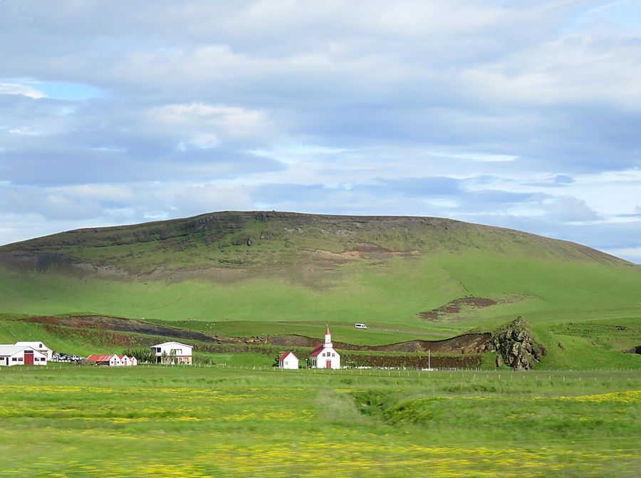
Countryside view while heading for a hotel for the evening on Iceland's
southern coast. We saw
a number of these small, quaint churches while traveling.
Link to Page Four - Iceland Hiking
Pat's Home Page