ROUTE OF THE MAYA
November 9 - 26, 2010
Page Fifteen
Belize - Ambergris Caye and San Pedro
Ambergris Caye is the name of Belize's largest island. The history of the island goes back to the days of the Maya, European Pirates, and Mexican Refugees who fled during the Caste War. The descendants from Mexico make up most of the island's population today. The economy of the island was once dependent on the coconut industry, followed by the fishing industry, but it is now dependent on tourism. Ambergris Caye (pronounced Am-BUR-gris Key) is the largest of some 200 cayes (islands) that dot the coastline of Belize. Ambergris is 25 miles long and a little over a mile wide, in some places, and it is located in the clear shallow waters of the Caribbean Sea just off the tip of Mexico's Yucatan Peninsula. The coastline is protected by the 190 miles long Barrier Reef, the second largest living coral reef in the world. In Mayan times, Ambergris Caye was a trading post. There is evidence of a former Maya population of 10,000. The narrow channel that separates Mexico and Belize was dug by the Maya to provide a trade route from the Bay of Chetumal to the Caribbean. Following the Maya came the whalers and buccaneers and the ancestors of present day residents, who were fishermen and workers in the coconut plantations. Total tourism has replaced fishing as the major source of income for the islanders althought the mahogany skiffs are still in service for charter fishing and diving. San Pedro Town is the only inhabited area on the island. Its atmosphere is that of a small bustling fishing village, but with hot spots of restaurants and entertainment. The town is clustered with wooden houses, some with Mexican decor, some with Carbbean, and some still remain with the English colonial architecture. Gift shops, boutiques, bars, cafes, and restaurants are strung along the Front and Middle Streets. Barefeet, T-shirts, and shorts is the typical dress code. The people of the island speak English, Spanish, Creole, and Maya all at the same time, resulting in their own island dialect. Before tourism picked up in the 1980s, the islanders were mostly Mestizos (Maya-Spanish). Today they share the island with the Creole, Maya, Central American refugees, and Americans that have made San Pedro their new home.
An optional extension to the trip was 3 days in Ambergris Caye. 6 of the tour group
of 14 took this optional tour. The rest of the group went home after seeing Lamanai.
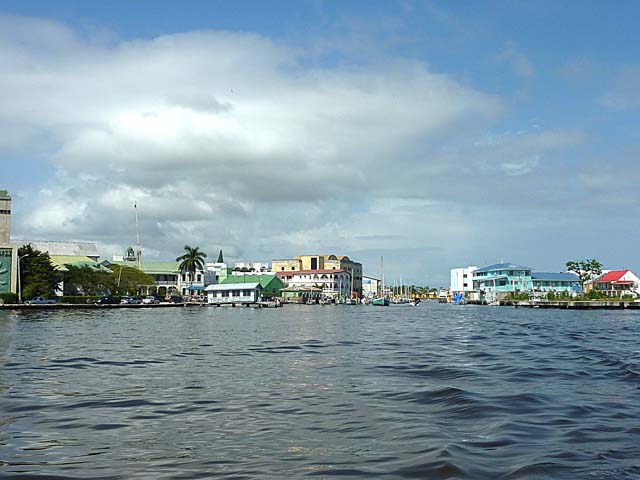
We took a water taxi from Belize City to the town of San Pedro on
Ambergris Caye. This is a view from the boat looking back at Belize City.
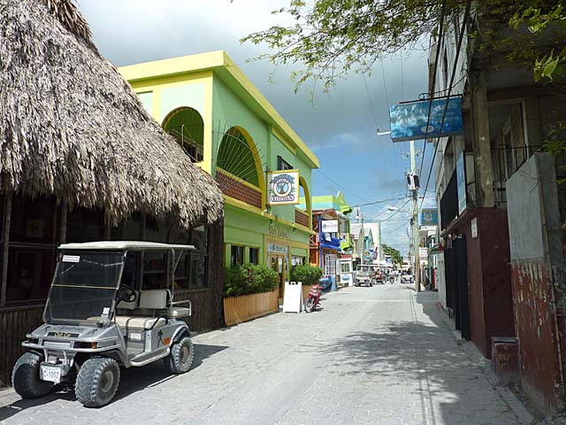
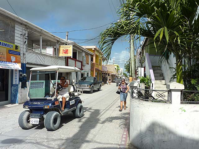
A street in the small town of San Pedro on the Caribbean Sea. Note the golf cart
type vehicle on the left. This is how people get around this area when they are not
walking or biking.
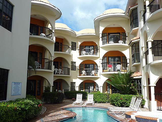
Seabreeze Suites, where we stayed. Photo taken from their outdoor bar and restaurant
next to the beach.
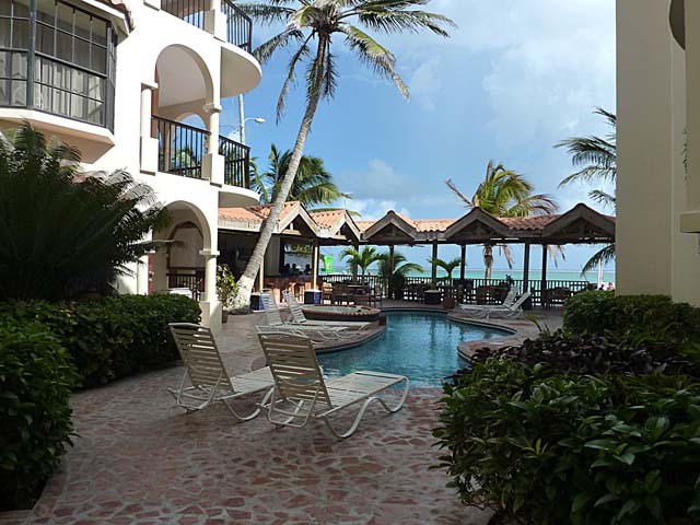
View from the patio of my suite looking out at the pool, bar and restaurant area,
and the Caribbean.
Street scene in San Pedro
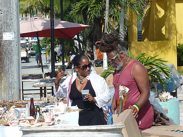
Vendors selling jewelry along the main street of San Pedro
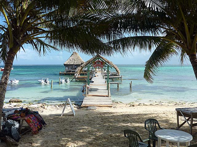
View of the Caribbean Sea from our lunch spot where we ate lobster. Lobster
was in season and so much cheaper than in the States. We ate lobster at least once
a day the 3 days we were there.
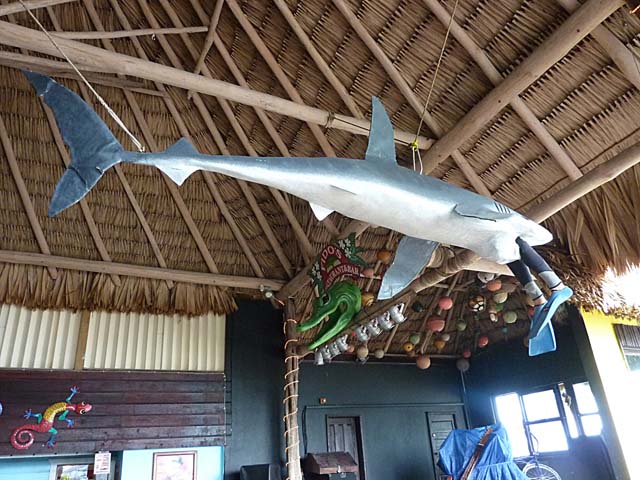
Hanging above the tables at the restaurant where we had lunch was this sculpture
showing a shark having his lunch. The next morning, we headed out on a boat
to go along the barrier reef to snorkel to see fish, stingrays, and sharks.
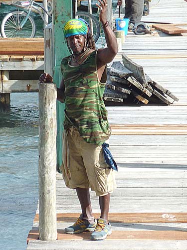
A local standing on a dock directly outside our
Sunbreeze Suites Hotel
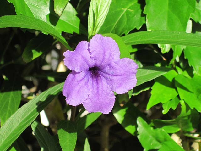
Flower on the patio of my suite
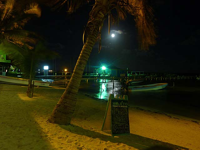
Moon looms just below a palm tree at the beach outside our hotel
Link to Page 16 - Belize continued
Link to Page One of Route of the Maya
Pat's Home Page