ROUTE OF THE MAYA
November 9 - 26, 2010
Page Seven
Guatemala continued
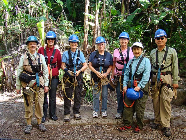
This is the subset of our group that opted to take the optional zip line and hanging bridges tour at Lake Atitlan.
The tour started with a short climb for less than an hour passing through hanging bridges and dense forest.
When we reached the top of the valley, we started our descent via zip line to bring us back to solid ground.
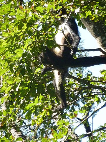
Along the way, we saw a spider monkey. His head is hidden
behind some tree leaves.
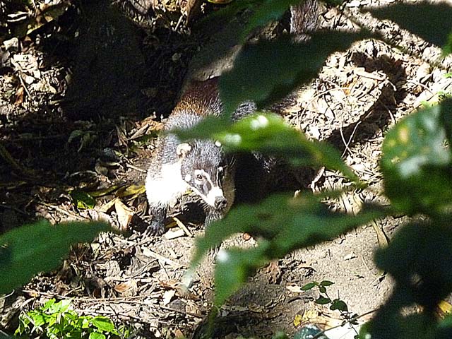
We also saw coatis. All coatis share a slender head with an elongated, flexible, slightly upward-turned nose,
small ears, dark feet, and a long, non-prehensile tail used for balance and signaling. They are active day and night.
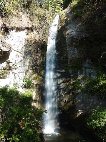
A waterfall that we saw from a hanging bridge
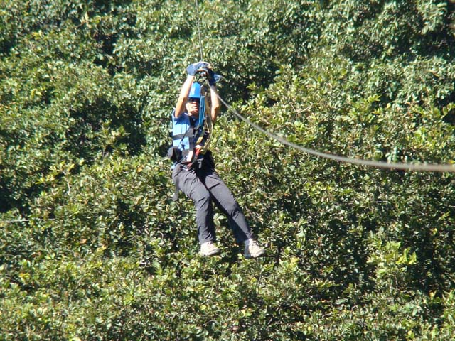
That's me racing down above the trees on the zip line. I was nearing the next landing spot and was starting
to pull down on the line to slow my speed in order not to go crashing into one of the crew that was waiting
to help us. The crew would waive a red flag at us when it was time to start gradually braking. Some of our
group occasionally missed the flag and had quite an abrupt stop, having to be caught and stopped by the crew.
We did
a total of 6 zip lines. I'd done this before in Costa Rica, but this one was better organized and safer.
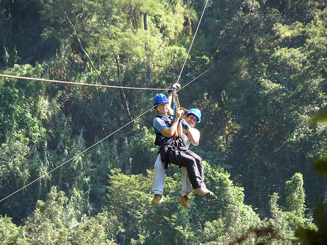
On one of the zip line segments I asked for a crew member to go with me in order to free up my hands
so I could photograph what we were seeing from the zip line.
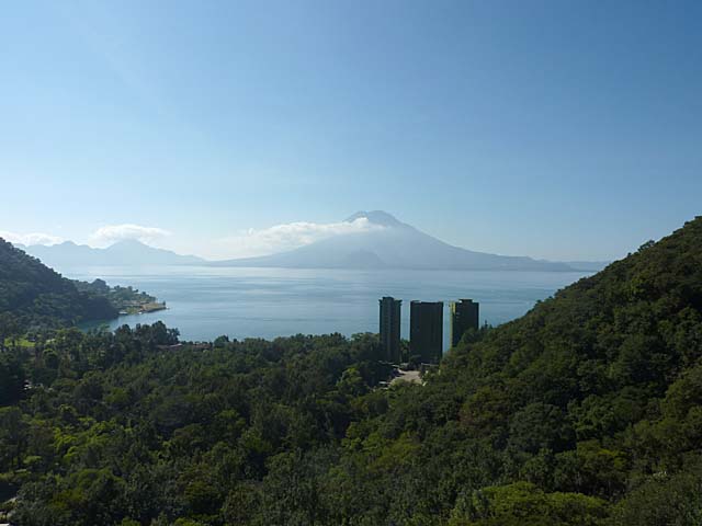
This is what we were seeing from the zip line - Lake Atitlan with volcanoes in the background.
Lake Atitlan is a large lake in the Guatemalan Highlands that does not flow to the sea. While Atitlan is recognized
to be the deepest lake in Central America, its bottom has not been completely sounded. Estimates of its maximum
depth range up to 340 meters. The lake is shaped by deep escarpments which surround it and by three
volcanoes on its southern side. Lake Atitlan is further characterized by towns and villages of the Maya people.
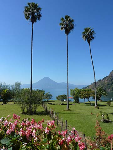
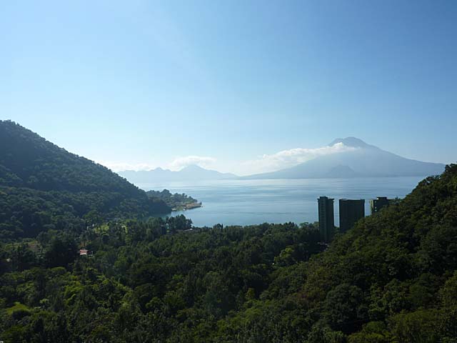
A ground level view of Lake Atitlan after the zip line tour
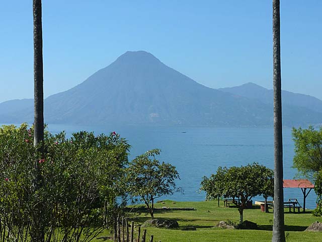
A closer view of the southern side of the Lake across the way
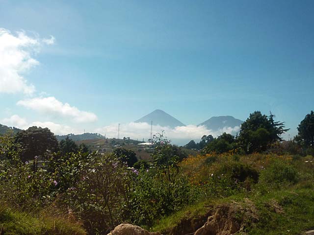
Roadside view after we had left the Lake Atitlan area and were heading to Antigua, Guatemala.
We could not take the main road both going to and leaving from Lake Atitlan because mud slides had caused
major washouts. The road we did take away from the area had been washed out in one section. The driver of our van
had to drive across a small river to get back on the road. He did this after getting out of the van to decide
if he could drive across safely without getting stuck. While trying to decide, a truck came the other way and
crossed, helping him to see the depth of the water and the conditions.
Link to Page 8 - Antigua, Guatemala
Link to Page One of Route of the Maya
Pat's Home Page