Iceland - June 20 - July 2, 2017
Page Six
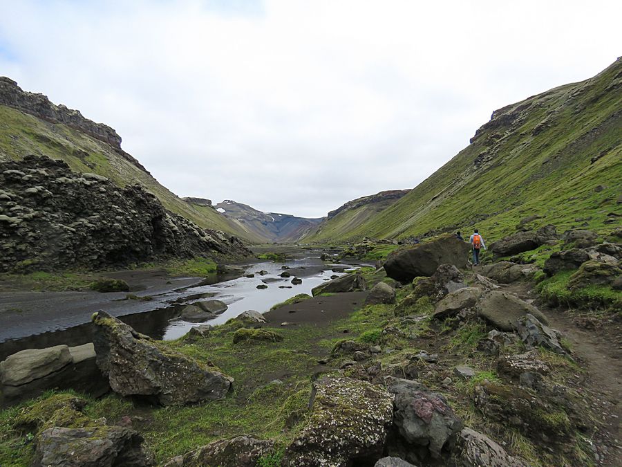
The fourth day of the guided hiking tour we drove to the gorge of Eldgja,
a 25 mile long volcanic rift formed during a violent 10th century eruption
that produced the greatest amount of lava ever recorded and later to
the Landmannalauger area, a very popular hiking and camping spot.
We drove to the gorge of Eldgja, a 25 mile long volcanic
rift formed during a violent 10th century eruption that
produced the greatest amount of lava ever recorded.
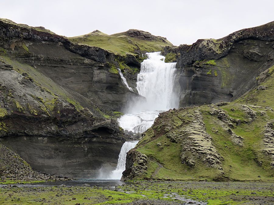
We hiked into the rift to see Ofaerufoss Waterfall
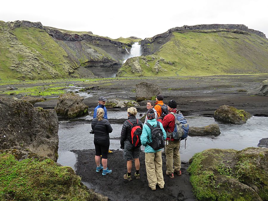
We crossed this stream to get close to the waterfall.
You can see part of the trail in the background to
the right of the waterfall
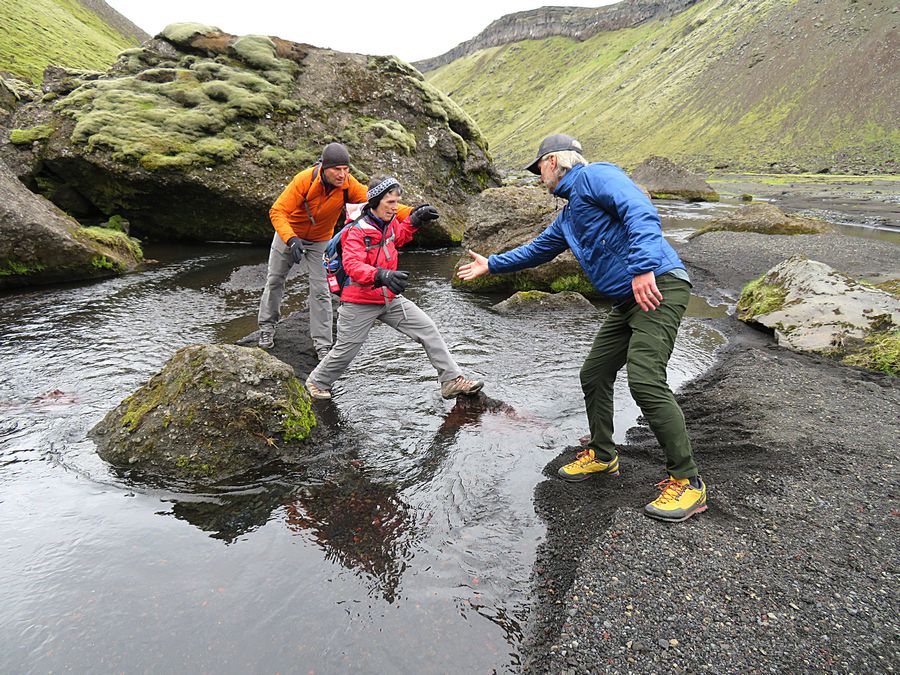
The stream crossing was not well suited to people
with short legs.
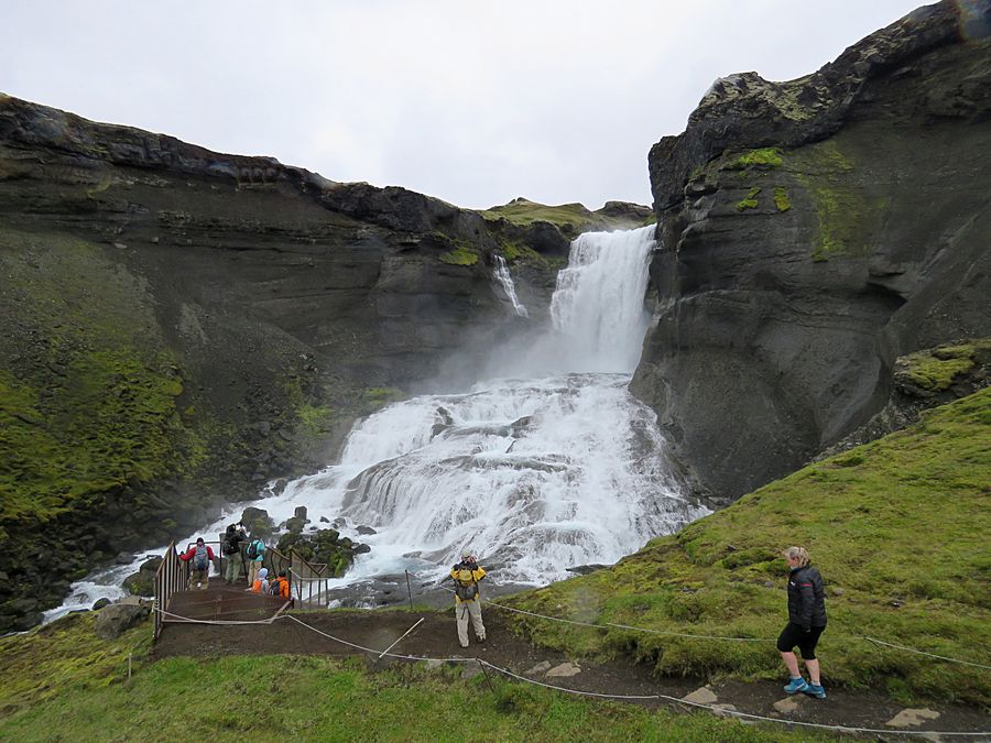
Ofaerufoss Waterfall
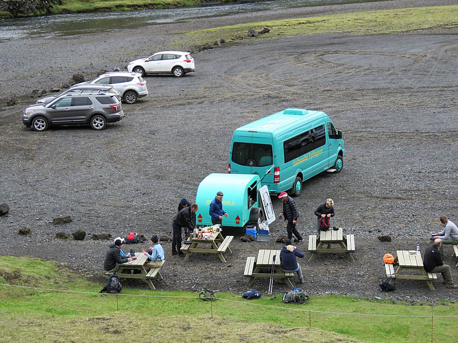
Back at the van at the trailhead parking, where we
had a picnic lunch
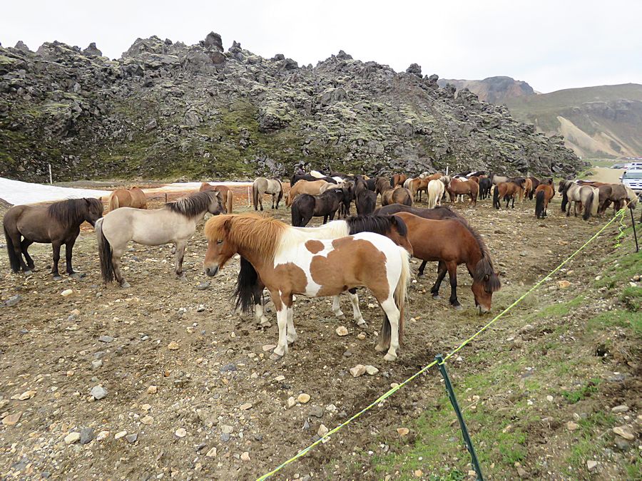
Icelandic horses at our next stop in the volcanic
region of Landmannalauger.
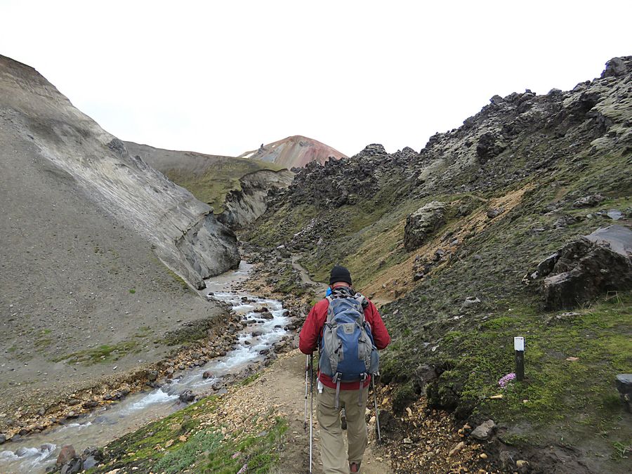
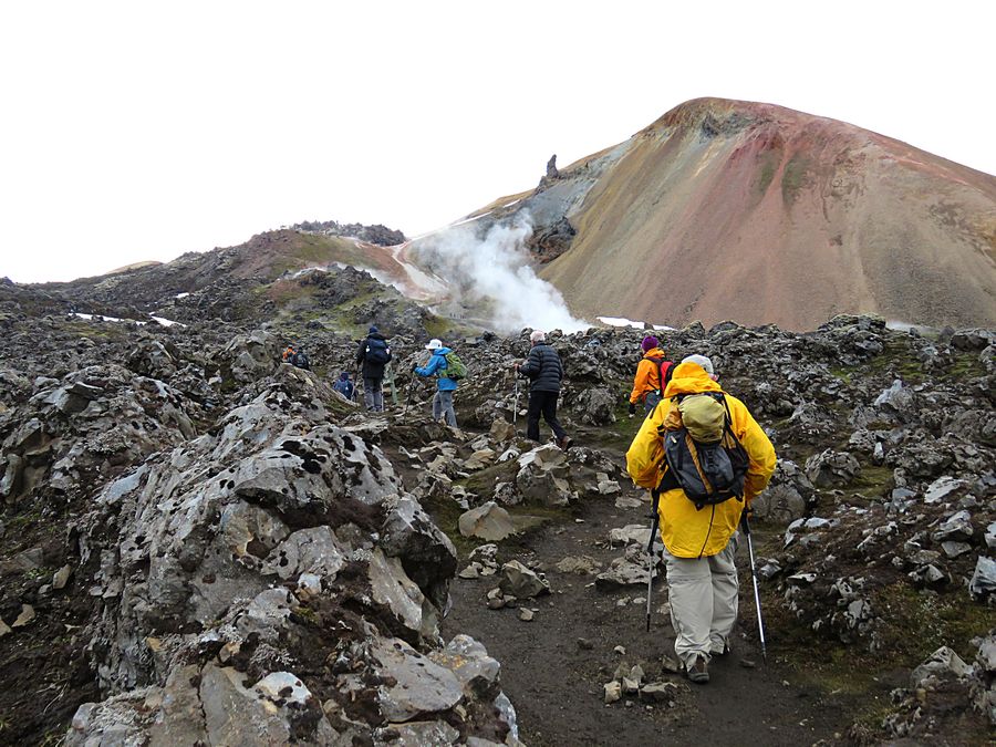
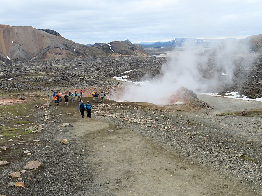
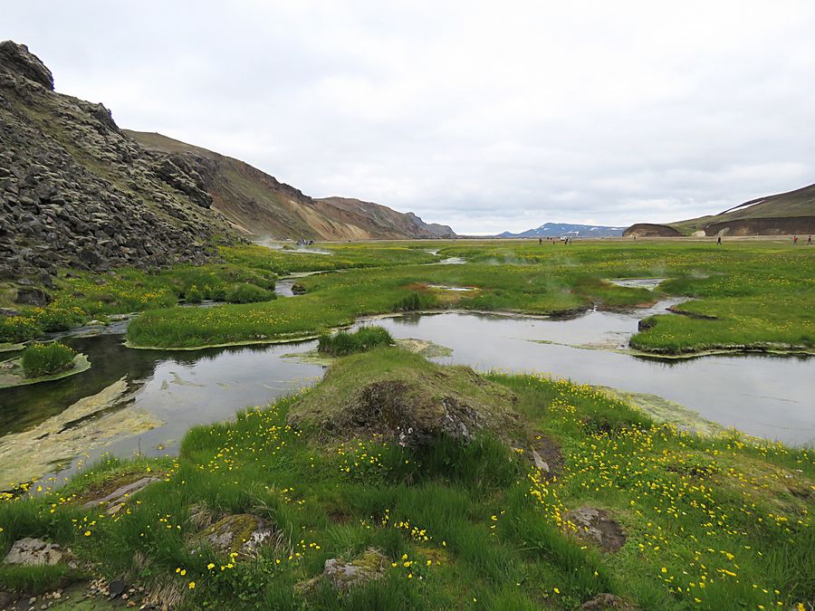
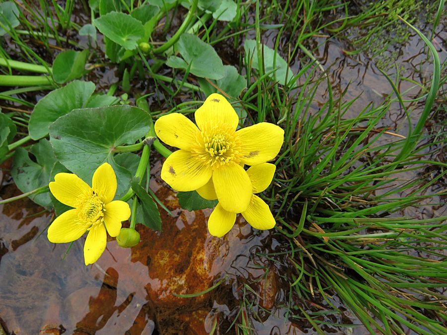
We hiked about 3 hours in the Landmannalauger area,
in the Fjallabak Nature Reserve,
seeing rhyolite mountains
and geothermal activity.
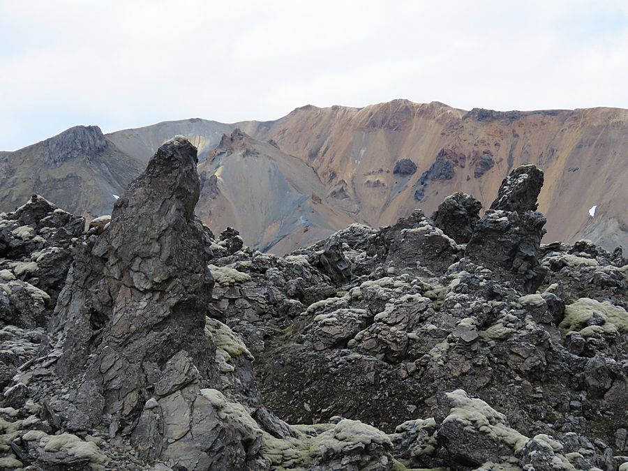
The surface of this area is covered predominantly
with black lava and pumice stone.
Back out near the trailhead parking
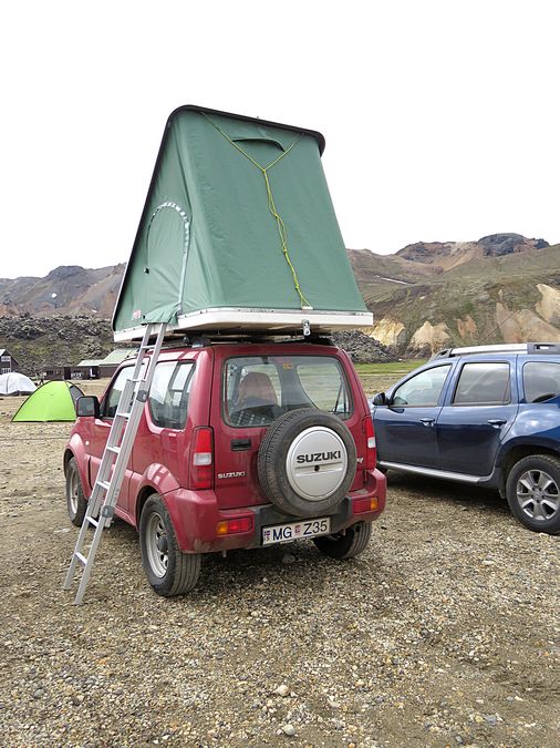
We saw this kind of car camping a few times.
Link to Page Seven - Iceland Hiking
Pat's Home Page